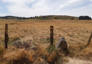
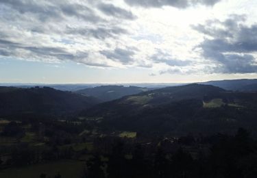
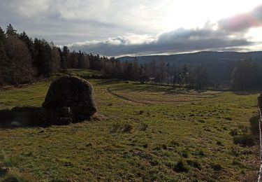
9.8 km | 12.5 km-effort
autour de Ste Colombe et Aumont-Aubrac
annefrance70
User
Length
37 km
Max alt
1225 m
Uphill gradient
646 m
Km-Effort
46 km
Min alt
1013 m
Downhill gradient
647 m
Boucle
Yes
Creation date :
2022-12-25 09:21:54.279
Updated on :
2022-12-28 14:01:16.617
1h41
Difficulty : Very easy
FREE GPS app for hiking
About
Trail 4x4 of 37 km to be discovered at Occitania, Lozère, Peyre en Aubrac. This trail is proposed by annefrance70.
Positioning
Country:
France
Region :
Occitania
Department/Province :
Lozère
Municipality :
Peyre en Aubrac
Location:
Sainte-Colombe-de-Peyre
Start:(Dec)
Start:(UTM)
519932 ; 4945738 (31T) N.
Comments
Trails nearby
Randonnée du moulinet
Walking
Medium
Le Buisson,
Occitania,
Lozère,
France
9.3 km | 11.9 km-effort
2h 56min
Yes
CC_Velay_BA_05_Peyre-Aubrac_Nasbinals_20070819
Walking
Medium
Peyre en Aubrac,
Occitania,
Lozère,
France
21 km | 27 km-effort
5h 30min
No
aumont aubrac - gilbertes
Walking
Very easy
Peyre en Aubrac,
Occitania,
Lozère,
France
25 km | 32 km-effort
6h 14min
No
Rando..Kac du Moulinet...Château de la Baume..14/05/2025
Walking
Difficult
Le Buisson,
Occitania,
Lozère,
France
16.7 km | 21 km-effort
3h 34min
Yes
GR65 j2
Walking
Medium
Peyre en Aubrac,
Occitania,
Lozère,
France
17.7 km | 21 km-effort
6h 51min
No
28-12-22 roc de Peyre
Walking
Easy
Peyre en Aubrac,
Occitania,
Lozère,
France
4.4 km | 5.8 km-effort
1h 17min
Yes
25-12-2022 lac du Moulinet
Walking
Easy
Peyre en Aubrac,
Occitania,
Lozère,
France
7.6 km | 10.4 km-effort
2h 15min
Yes